
01 What it is
A laser scanner measures the distance to every surface around it, many hundreds of thousands of times a second. Walked through a building, a mobile scanner records walls, openings, columns, ceilings, fixtures and equipment as a dense cloud of measured points, with panoramic photographs taken along the way.
We register the walks into one coordinate system, clean out people and passing traffic, and deliver the result as a point cloud your team can measure from, section through and draft over. It is the raw evidence behind every drawing we make, and many clients keep it so they never have to go back to site.
02 What you receive
What arrives in your portal.
- A registered point cloud of every area in the scope, aligned into one coordinate system
- Colour taken from the scanner’s own panoramic photographs
- An Autodesk ReCap project that links into Revit and AutoCAD
- An open E57 file for any other software
Formats
| E57 | Open exchange format; opens in almost any point-cloud software |
|---|---|
| ReCap (.rcp / .rcs) | Links directly into Revit and AutoCAD |
Typical uses
- In-house drafting teams who want the data, not the drawings
- Checking an old drawing set against the building as built
- Clash checks before new services are run
- A permanent record of a building before demolition or renovation
— See one
Open one in your browser.
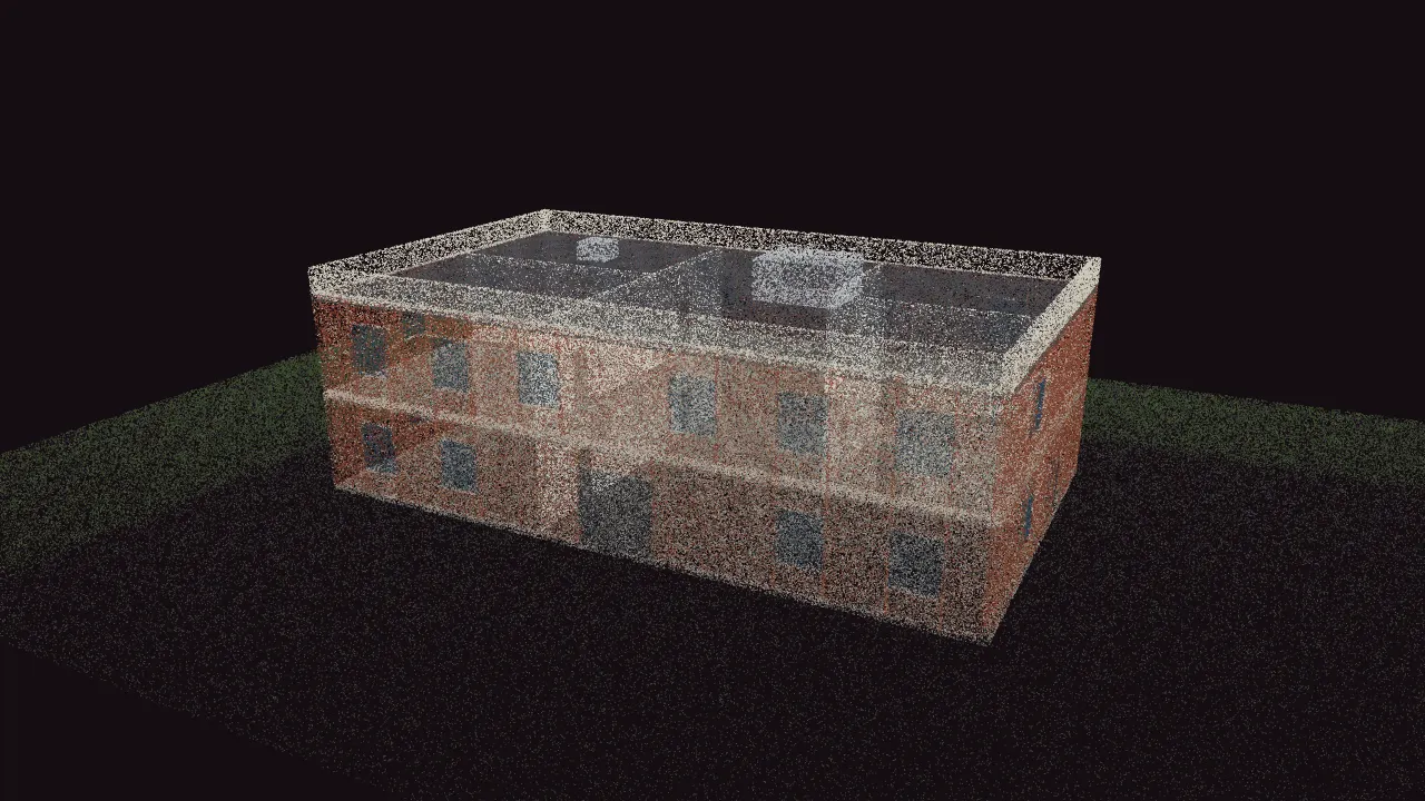
Inside and out, 650,000 measured points. Cut a section through it, measure a wall, switch between colour and laser intensity.
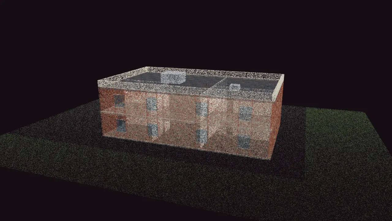
The same building as a Gaussian splat: a photoreal capture that renders smoothly in the browser.
Other services
Floor plans, reflected ceiling plans, elevations and sections drafted from the scan, with each element in its correct place and size.
BIM and Revit modelingA Revit model of the existing building, built element by element from the point cloud at the level of development you choose.
Virtual walkthroughsAn interactive tour of the interior and exterior, built from the same visit as your scan and shared as a link.
Drone exterior captureRoofs, upper facades and the surrounding site captured from the air and processed into a 3D model and point cloud.
Ground-penetrating radarRadar scanning of slabs and walls to locate what is embedded in them before anyone cuts, cores or drills.
360° photo documentationRoom-by-room 360° photographs of the existing conditions, organised so your team can walk the building from a screen.
— Instant price · live calendar · book online
Get a laser-scan price: see it now, book it today.
Enter the address: the price comes straight back, the calendar shows real dates, and a deposit confirms the booking. No call needed.
Prefer to talk? Send us a message and we will call you back.